
Local Hiking Trails
Discover the region on local circular trails

The local hiking trails
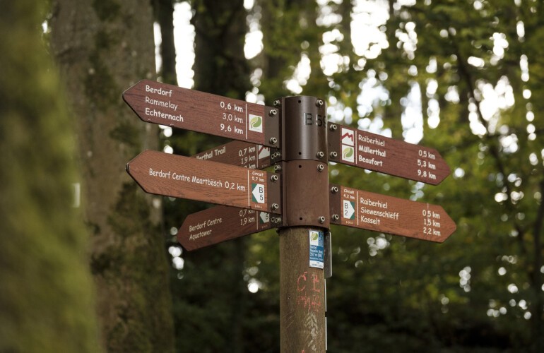
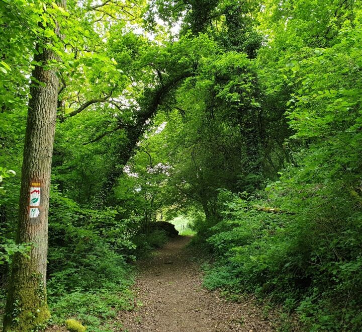
The region has a great range of local circular hiking trails that offer something for every taste and every hiking level. Each hike is consistently marked with a green letter-number combination on a white background. The path is marked in the walking direction - easy to follow. Experience the variety of these paths, adapted to different levels of difficulty and route lengths, and let yourself be seduced by the beauty of these areas.
DISCOVER THE LOCAL HIKING TRAILS IN THE MULLERTHAL REGION
 Local hiking trail - L2
Larochette: Tourist Info
 Local hiking trail - B14
Beaufort: Route de Reisdorf
 Local hiking trail - B16
Beaufort: Route de Reisdorf/Kinnewee
 Local hiking trail - E8
Stegen: Church
 Local hiking trail - B1
Beaufort: Castle
 Local hiking trail - W1
Haller: Parking Rue du Hallerbach
 Local hiking trail - J5
Junglinster: Pavilion Sports Center/Soccer Field (Op de Fréinen)
 Local hiking trail - J16
Godbrange: Pavilion at the church
 Local hiking trail - R8
Steinheim: Rue de la Montagne (Centre culturel "Fraihof")
 Local hiking trail - J10
Bourglinster: Pavilion at the parking lot by the castle
 Local hiking trail - B9
Bech: Becher Gare
 Local hiking trail - F3
Hannert de Gaarden
 Local hiking trail - B13
Berdorf: Um Millewee
 Local hiking trail - B11
Berdorf: An der Heeschbesch
 Local hiking trail - B18
Dillingen: Camping Wies-Neu
 Local hiking trail - M4
Medernach: Rue de Larochette
 Local hiking trail - W8
Mullerthal: Touristcenter Heringer Millen
 Eschweiler / Op der Déckt C...
Accessible parking space between Rodenbourg and Eschweiler
 Local hiking trail - M6
Mompach: Church
 Local hiking trail - B12
Beaufort: Cité Birkbour/Route de Reisdorf
 Local hiking trail - B10
Beaufort: Cité Birkbour/Route de Reisdorf
 Local hiking trail - E9
Folkendange: chapel
 Local hiking trail - E5
Echternach: Parking Lake
 Local hiking trail - J1
Pavilion Junglinster sports center on the N11
 Local hiking trail - R9
Osweiler: Rue de l'école
 Local hiking trail - B3
Bech: Church
 Local hiking trail - B15
Berdorf: junction Hammhafferstrooss - Biirkelterstrooss
 Local hiking trail - B8
Berdorf: Intersection Hammhafferstrooss - Biirkelterstrooss
 Local hiking trail - B5
Berdorf: Tourist Info
 Local hiking trail - F2
Fischbach: Parking Rue du Moulin
 Local hiking trail - F4
parking at the church
 Local hiking trail - B7
Beaufort: Castle
 Local hiking trail - C5
Consdorf: Parking lot Konstrëfermillen (Moulin de Consdorf)
 Local hiking route - B6
Bech: Becher Gare
 Local hiking trail - M1
Schlassstroos
 Local hiking trail - E1
Echternach: Basilica or Berdorf: Parking Huel Lee
 Local hiking trail - M3
Mompach: Church
 Local hiking trail - H2
Heffingen: Hiefenecher Millen
 Local hiking trail - H1
Heffingen: Community centre
 Local hiking trail - B19
Bollendorf-Pont: Route de Diekirch/Gruusswiss
 Local hiking trail - J19
Godbrange: Pavilion at the church
 Local hiking trail - M2
Givenich
 Local hiking trail - F1
Fischbach: Parking Rue du Moulin
 Local hiking trail - E6
Ermsdorf: Cemetery
 Local hiking trail - J18
Godbrange: Pavilion by the church
 Local hiking trail - J20
Godbrange: Pavilion by the church
 Local hiking trail - J2
Pavilion Junglinster sports center on the N11
 Local hiking trail - J4
Pavilion Junglinster sports center on the N11
 Local hiking trail - J13
Bourglinster Pavillon Biergerbierg CR 122
 Local hiking trail - R5
Bigelbach: church
 Local hiking trail - N4
Nommern: Community center
 Local hiking trail - C7
Scheidgen: Church
 Local hiking trail - E4
Echternach: Basilica
 Local hiking trail - C2
Consdorf: Rue Dielchen (Op der Gare)
 Local hiking trail - B2
Berdorf: Tourist Info
 Local hiking trail - W6
Mullerthal: Touristcenter Heringer Millen
 Local hiking trail - R7
Rosport: Rue du Barrage (car park at the reservoir)
 Local hiking trail - J23
Am Duerf
 Local hiking trail - J21
Beidweiler Pavilion on the village square in front of the church
 Local hiking trail - J14
Bourglinster: Pavilion at the parking lot by the castle
 Local hiking trail - J17
Godbrange: Pavilion by the church
 Local hiking trail - J8
Bourglinster Pavillon Biergerbierg CR 122
 Local hiking trail - J3
Pavilion Junglinster sports center on the N11
 Local hiking trail - J11
Bourglinster: Pavilion at the parking lot by the castle
 Local hiking trail - J6
Pavilion Junglinster sports center on the N11
 Local hiking trail - L1
Larochette: Tourist Info
 Local hiking trail - R4
Reisdorf: Chapel
 Local hiking trail - R3
Reisdorf: Rue de la Forêt
 Local hiking trail - N2
Nommern: community center
 Local hiking trail - R2
Reisdorf: Route de Larochette
 Local hiking trail - B4
Beaufort: Castle
 Local hiking trail - L5
Larochette: Tourist Info
 Local hiking trail - L3
Larochette: Tourist Info
 Local hiking trail - C3
Consdorf: Rue Dielchen (Op der Gare)
 Local hiking trail - W2
Mullerthal: Tourist Center Heringer Millen
 Local hiking trail - W5
Haller: Parking Rue du Hallerbach
 Local hiking trail - N1
Nommern: Camping Nommerlayen
 Local hiking trail - J22
Beidweiler Pavilion on the village square in front of the church
 Local hiking trail - J9
Pavilion parking lot CR122
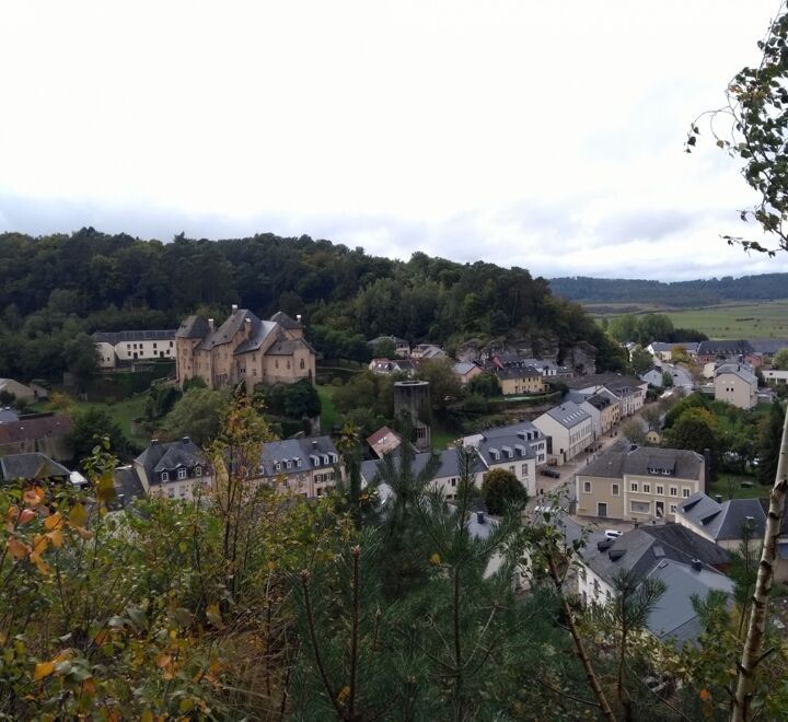 Local hiking trail - J12
Bourglinster: Pavilion at the parking lot by the castle
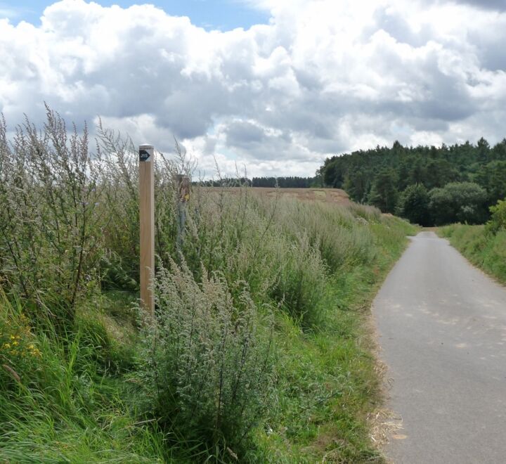 Local hiking trail - J15
Bourglinster: Pavilion at the parking lot by the castle
 Local hiking trail - R6
Bigelbach: Church
 Local hiking trail - N5
Schrondweiler: Rue de l'École
 Local hiking trail - N3
Nommern: town hall
 Local hiking trail - C6
Consdorf: Tourist Info
 Local hiking trail - C4
Consdorf: Rue Dielchen (Op der Gare)
 Local hiking trail - C1
Consdorf: Tourist Info
 Local hiking trail - L4
Larochette: Tourist Info
 Local hiking trail - W3
Mullerthal: Tourist Center Heringer Millen
 Local hiking trail - W7
Mullerthal: Touristcenter Heringer Millen
 Local hiking trail - W4
Haller: Parking Rue du Hallerbach
 Local hiking trail - R1
Reisdorf: Tourist Info
 Local hiking trail - B17
Bollendorf-Pont: Route de Diekirch/Gruusswiss