Auto-Pédestre hiking trail Consdorf - Müllerthal
Auto-Pédestre hiking trail Consdorf - Müllerthal
The challenging hiking route connects the locations of two former mills in the towns of Consdorf and Müllerthal and runs along fascinating sandstone cliffs.
A possible start and end point of the route is Heringer Millen in the town of Müllerthal, which was once one of the most important mills in the region. It now houses a restaurant and a tourist center. An alternative start and end point is the Konsdrefer Millen. There is also a place to eat at the local brewery there.
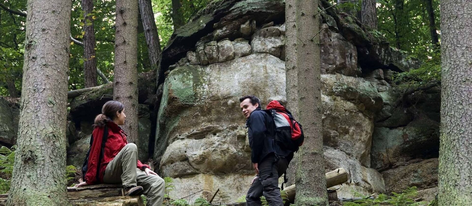
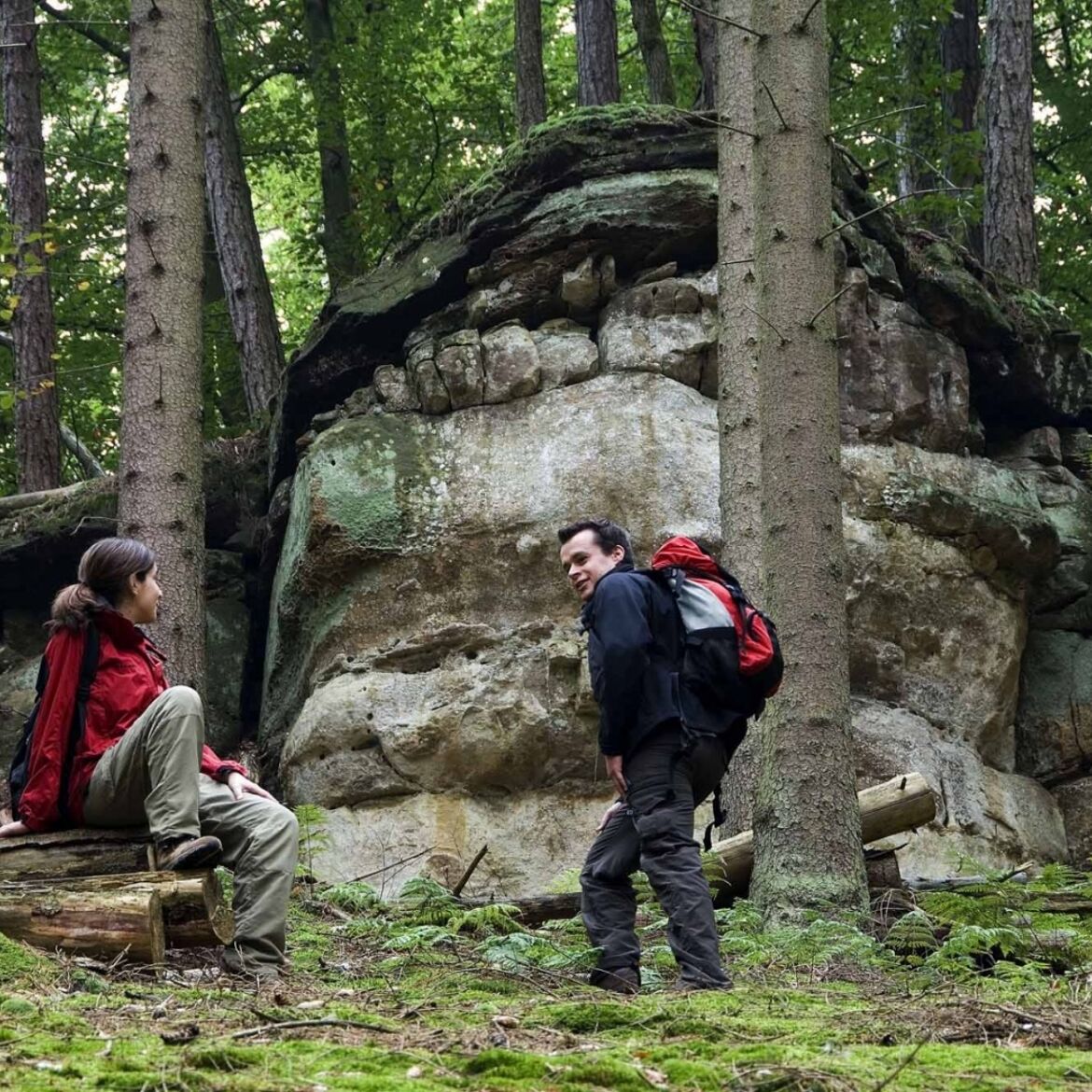
Goldkaul, Goldfralaee, Eilebuerg as well as Schelmelee and Ramelee are the names of some rocks that this route passes by. The peculiar names often originate from myths and legends. Due to weathering processes, the sandstone cliffs sometimes look like bizarre figures or faces.
The Schiessentümpel is a picturesque waterfall on the Schwarze Ernz and is located directly on the path. With its idyllic stone and wood bridge, surrounding rocks, and lush vegetation, Schiessentümpel has become one of the most popular excursion destinations in the Müllerthal region – Little Luxembourg Switzerland.
Location
Consdorf: Konstrëffermillen or Müllerthal: Rue des Moulins
Contact
B.P. 152 | L-6402 Echternach
Tel. +352 72 04 57 1 | Fax. +352 72 75 24
E-mail : info@mullerthal.lu
Details
Departure : Consdorf: Konstrëffermillen or Müllerthal: Rue des Moulins
Arrival : Consdorf: Konstrëffermillen or Müllerthal: Rue des Moulins
Parking : Parking lot Heringer Millen or Consdorfer Millen
Distance : 9,3 km
Altitude : 328 m
Time : 04h00
Difficulty :
Picture gallery hiking

in the surroundings
show on the map


our partners

Regional Tourist Office Mullerthal Region – Luxembourg’s B.P. 152
L-6402 Echternach
Grand-Duché de Luxembourg
T. +352 72 04 57-1
F. +352 72 75 24
E. info@mullerthal.lu
