M4 fields, forest and meadows
M4 fields, forest and meadows
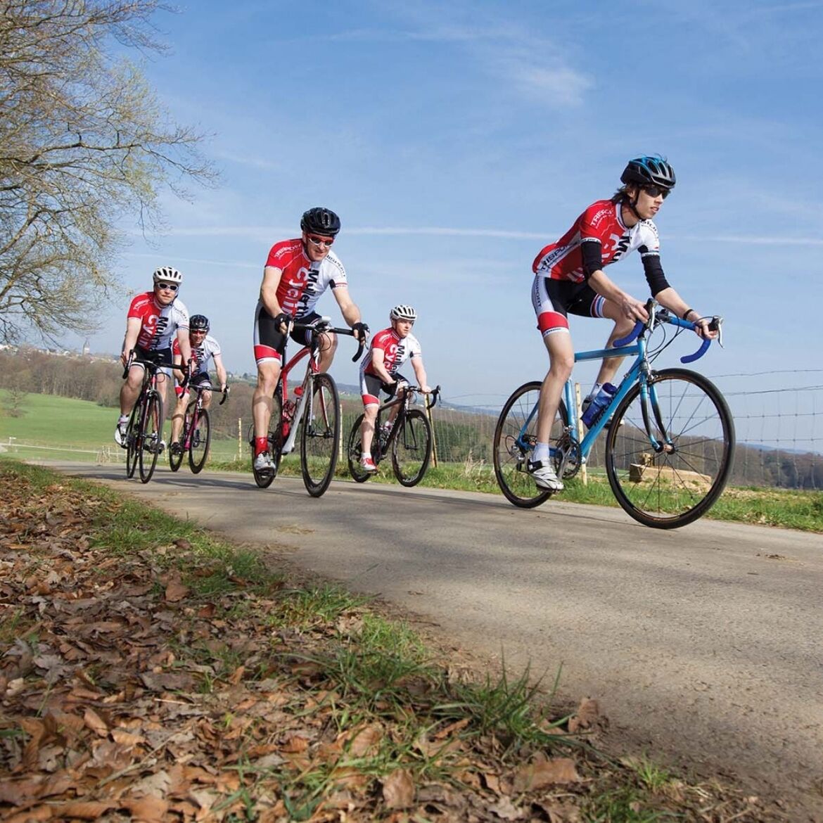
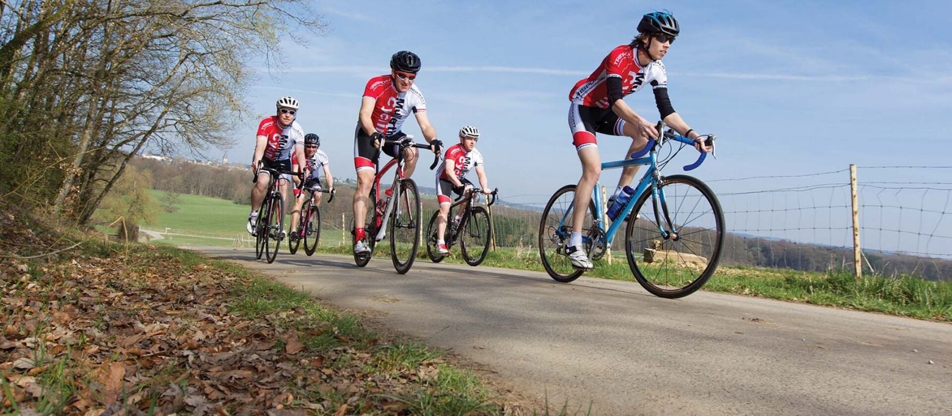
This moderate route offers both sporting challenges and sections for relaxation through the combination of short and long ascents and descents.
After an initial short descent, the route starting in Eppeldorf climbs for about 10 km via Larochette to Christnach. Leading through the charming village, it then goes through a beautiful forested landscape, first downhill and then ascending along the Schwarze Ernz to Blumenthal. The route passes through small roads by nicely located small villages such as Brouch, Berbourg, Bech, and Herborn. Shortly after Herborn, on a longer descent with a short ascent in Osweiler, you can enjoy the magnificent view of Lake Echternach. Behind Echternach, the route follows a gentle course along the Sauer. A final climb leads back to the starting point in Eppeldorf.
General information
Location
Eppeldorf: village centre
Contact
B.P. 152 | L-6402 Echternach
Tel. +352 72 04 57 1 | Fax. +352 72 75 24
E-mail : [email protected]
Details
Departure : Eppeldorf: village centre
Arrival : Eppeldorf: village centre
Distance : 71 km
Altitude: 367 m
Time : 04h30
Difficulty :
Itinerary
After an initial short descent, the route starting in Eppeldorf climbs for about 10 km via Larochette to Christnach. Leading through the charming village, it then goes through a beautiful forested landscape, first downhill and then ascending along the Schwarze Ernz to Blumenthal. The route passes through small roads by nicely located small villages such as Brouch, Berbourg, Bech, and Herborn. Shortly after Herborn, on a longer descent with a short ascent in Osweiler, you can enjoy the magnificent view of Lake Echternach. Behind Echternach, the route follows a gentle course along the Sauer. A final climb leads back to the starting point in Eppeldorf.
Topographic map
Elevation profile
Picture gallery hiking