M3 Through the valley of the Schwarze Ernz
M3 Through the valley of the Schwarze Ernz
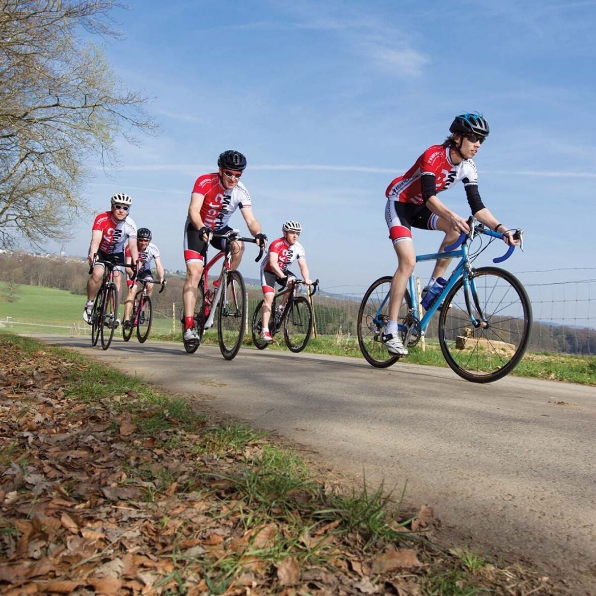
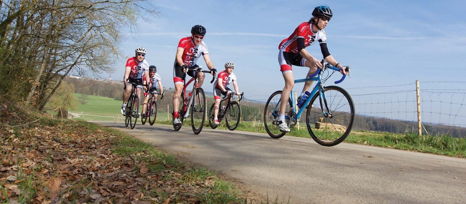
This beautiful, moderate route leads through the valleys of Schwarzer Ernz, Syr, Mosel, and Sauer. It is characterized by the 15 km long but moderate ascent at the beginning.
The route starts at the parking lot of the youth hostel at Echternacher See. After a short ride through the abbey town, the first kilometers run flat along the Sauer to Grundhof. From Grundhof, it goes through the valley of the Schwarze Ernz and past the popular photo motif and romantically located Schiessentümpel waterfall. The route ascends moderately but continuously in this section. After the effort of the first kilometers, there follows a leisurely descent over several small villages from Graulinster to Mertert. The last kilometers of the route run along the Sauer back to the starting point Echternach.
Photo: © Mullerthal Cycling / Lutz
General information
Location
Echternach: Youth Hostel
Contact
B.P. 152 | L-6402 Echternach
Tel. +352 72 04 57 1 | Fax. +352 72 75 24
E-mail : [email protected]
Details
Departure : Echternach: Youth Hostel
Arrival : Echternach: Youth Hostel
Parking : Free parking at Echternacher See or at the youth hostel.
Distance : 71,6 km
Altitude: 366 m
Time : 04h30
Difficulty :
Itinerary
The route starts at the parking lot of the youth hostel at Echternacher See. After a short ride through the abbey town, the first kilometers run flat along the Sauer to Grundhof. From Grundhof, it goes through the valley of the Schwarze Ernz and past the popular photo motif and romantically located Schiessentümpel waterfall. The route ascends moderately but continuously in this section. After the effort of the first kilometers, there follows a leisurely descent over several small villages from Graulinster to Mertert. The last kilometers of the route run along the Sauer back to the starting point Echternach.
Topographic map
Elevation profile
Picture gallery hiking