M2 Up and Down
M2 Up and Down
The name of the route is no coincidence: several ascents and descents pose a sporting challenge!
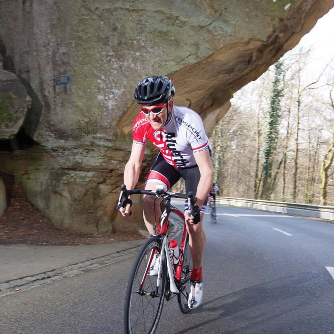
Starting in Medernach, the route initially steadily ascends through the valley of the White Ernz to Larochette and continues on side roads via Haller and Waldbillig to Christnach. The route continues to be varied in terms of landscape, passing through several villages such as Bech and Consdorf, reaching Berdorf after 42 km. From there follows a steep descent - past unique rock formations - into the valley of the Black Ernz. After a short flat section, the next ascent follows up to the plateau of Beaufort. Shortly behind "Beeforterheed" the route descends towards Reisdorf with a magnificent view of the Sauertal. The last ascent follows from Reisdorf, going uphill along the White Ernz and via Folkendange and Ermsdorf back to the starting point in Medernach.
Photo: © Mullerthal Cycling / Lutz
General information
Location
Medernach: village center
Contact
B.P. 152 | L-6402 Echternach
Tel. +352 72 04 57 1 | Fax. +352 72 75 24
E-mail : [email protected]
Details
Departure : Medernach: village center
Arrival : Medernach: village center
Distance : 67,3 km
Altitude: 408 m
Time : 04h10
Difficulty :
Itinerary
Starting in Medernach, the route initially steadily ascends through the valley of the White Ernz to Larochette and continues on side roads via Haller and Waldbillig to Christnach. The route continues to be varied in terms of landscape, passing through several villages such as Bech and Consdorf, reaching Berdorf after 42 km. From there follows a steep descent - past unique rock formations - into the valley of the Black Ernz. After a short flat section, the next ascent follows up to the plateau of Beaufort. Shortly behind "Beeforterheed" the route descends towards Reisdorf with a magnificent view of the Sauertal. The last ascent follows from Reisdorf, going uphill along the White Ernz and via Folkendange and Ermsdorf back to the starting point in Medernach.
Topographic map
Elevation profile
Picture gallery hiking