M1 Castles Route
M1 Castles Route
This sporty route offers a lot of scenic and cultural variety. The two impressive castles in Beaufort and Larochette are located very close to the route.
From the youth hostel in Beaufort, the route first descends into the valley of the Schwarzen Ernz. From there, a strenuous climb follows to the town of Berdorf. After a short section along the Sauer, the impressive abbey town of Echternach is reached. On the further course of the route, a longer section with moderate ascent follows on a former railway line, which passes through a lit tunnel near Bech. Across open pasturelands, the route continues past the towns of Graulinster and Reuland to Heffingen. From there, it goes along the Weiße Ernz towards Larochette, where a rest and a visit to the castle are recommended. Then it continues along the river through Reisdorf to Dillingen and returns to the starting point via a final steep climb.
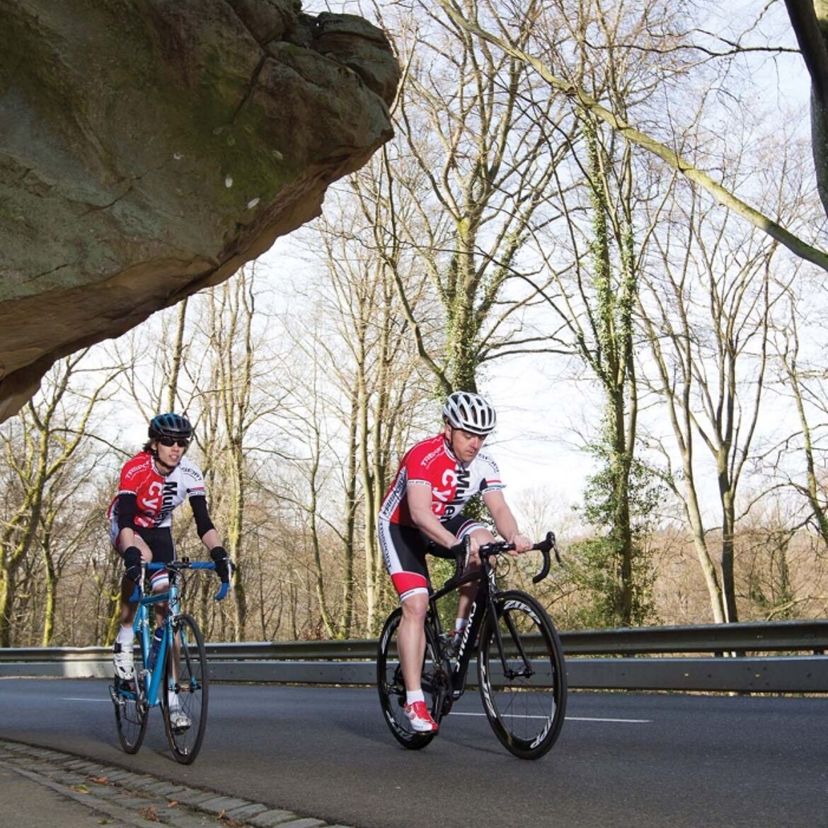
Photo: © Mullerthal Cycling / Lutz
General information
Location
Beaufort: Youth hostel
Contact
B.P. 152 | L-6402 Echternach
Tel. +352 72 04 57 1 | Fax. +352 72 75 24
E-mail : [email protected]
Details
Departure : Beaufort: Youth hostel
Arrival : Beaufort: Youth hostel
Parking : Free parking at the youth hostel in Beaufort.
Distance : 65,4 km
Altitude: 380 m
Time : 04h00
Difficulty :
Itinerary
From the youth hostel in Beaufort, the route first descends into the valley of the Schwarzen Ernz. From there, a strenuous climb follows to the town of Berdorf. After a short section along the Sauer, the impressive abbey town of Echternach is reached. On the further course of the route, a longer section with moderate ascent follows on a former railway line, which passes through a lit tunnel near Bech. Across open pasturelands, the route continues past the towns of Graulinster and Reuland to Heffingen. From there, it goes along the Weiße Ernz towards Larochette, where a rest and a visit to the castle are recommended. Then it continues along the river through Reisdorf to Dillingen and returns to the starting point via a final steep climb.
Topographic map
Elevation profile
Picture gallery hiking