L1 Beginner Route
L1 Beginner Route
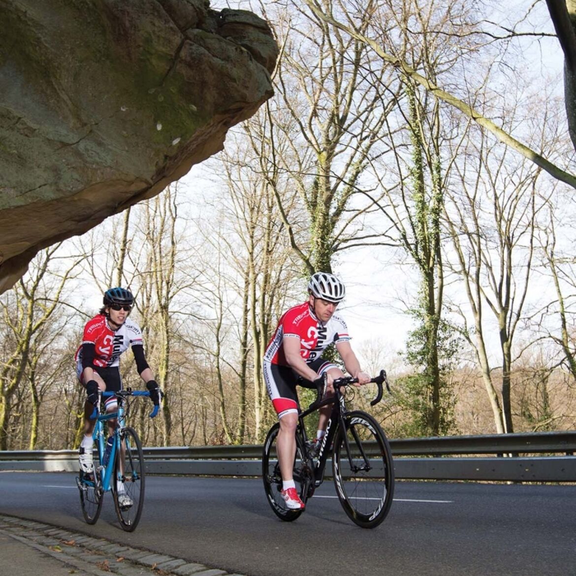
This short but varied 30 km route, ideal for beginners, leads both along the Sauer and through the valley of the Black Ernz.
Starting point is the parking lot of the "Heringer Millen", one of the most important mills in the region and at the same time a tourist center. The route begins in the heart of the Mullerthal region and initially runs through the impressive valley of the Black Ernz. After a slight ascent, the route leads through the charming village of Consdorf. After the effort comes the relaxation downhill through forest landscapes and along rock formations to Echternach, the beautiful abbey town that invites you to take a break. From Echternach, the route continues leisurely along the Sauer to the village of Grundhof. From there, slight ascents lead back through the idyllic valley of the Black Ernz to the starting point.
General information
Location
Mullerthal: Touristcenter Heringer Millen
Contact
B.P. 152 | L-6402 Echternach
Tel. +352 72 04 57 1 | Fax. +352 72 75 24
E-mail : [email protected]
Details
Departure : Mullerthal: Touristcenter Heringer Millen
Arrival : Mullerthal: Touristcenter Heringer Millen
Parking : Free parking at the Heringer Millen in Mullerthal.
Distance : 30,3 km
Altitude: 349 m
Time : 02h00
Difficulty :
Itinerary
Starting point is the parking lot of the "Heringer Millen", one of the most important mills in the region and simultaneously a tourist center. The route begins in the heart of the Mullerthal region and first runs through the impressive valley of the Black Ernz. After a slight ascent, the route leads through the charming village of Consdorf. Following the effort comes the relaxation downhill through forest landscapes and along rock formations to Echternach, the beautiful abbey town inviting a pause. From Echternach, the route continues leisurely along the Sauer to the village of Grundhof. From there, slight ascents lead back through the idyllic valley of the Black Ernz to the starting point.
Topographic map
Elevation profile
Picture gallery hiking