Local cycling path "Rock route"
Local cycling path "Rock route"
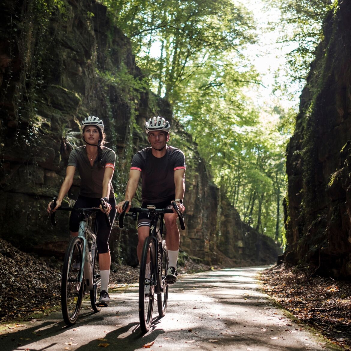
Four loops connect the area around the municipalities of Berdorf, Consdorf, and Bech, which is characterized by massive rocks, inviting you to a discovery by bicycle.
This cycling circuit primarily runs along secondary roads and dirt tracks with little traffic. The route overlaps with the Echternach-Luxembourg bicycle path (PC2) on very beautiful sections.
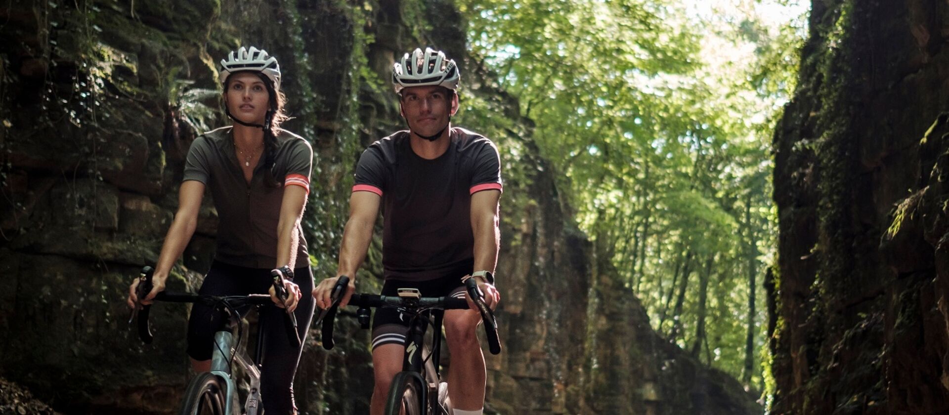
Points of interest: ancient oak "Bildchen" and village chapel "St. Margaretha" near Hersberg, flying bomb memorial in Consdorf, pristine landscapes as far as the eye can see, shady gorges, and narrow canyons.
General information
Location
Scheidgen
Contact
B.P. 152 | L-6402 Echternach
Tel. +352 72 04 57 1 | Fax. +352 72 75 24
E-mail : [email protected]
Details
Departure : Scheidgen
Arrival : Scheidgen
Distance : 42,8 km
Altitude: 399 m
Time : 03h20
Difficulty :
Itinerary
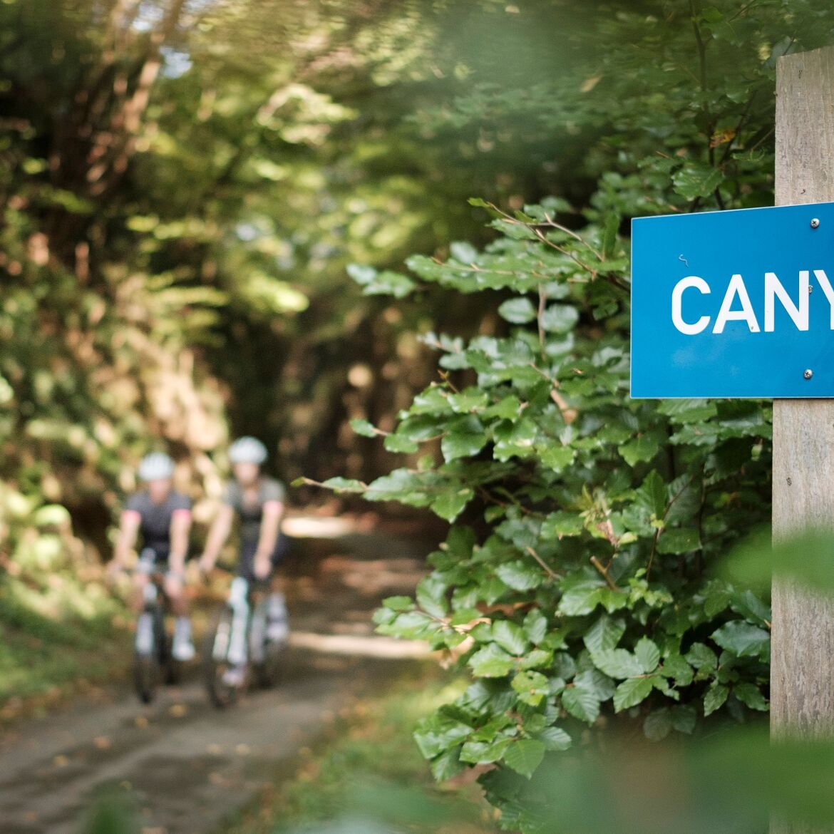
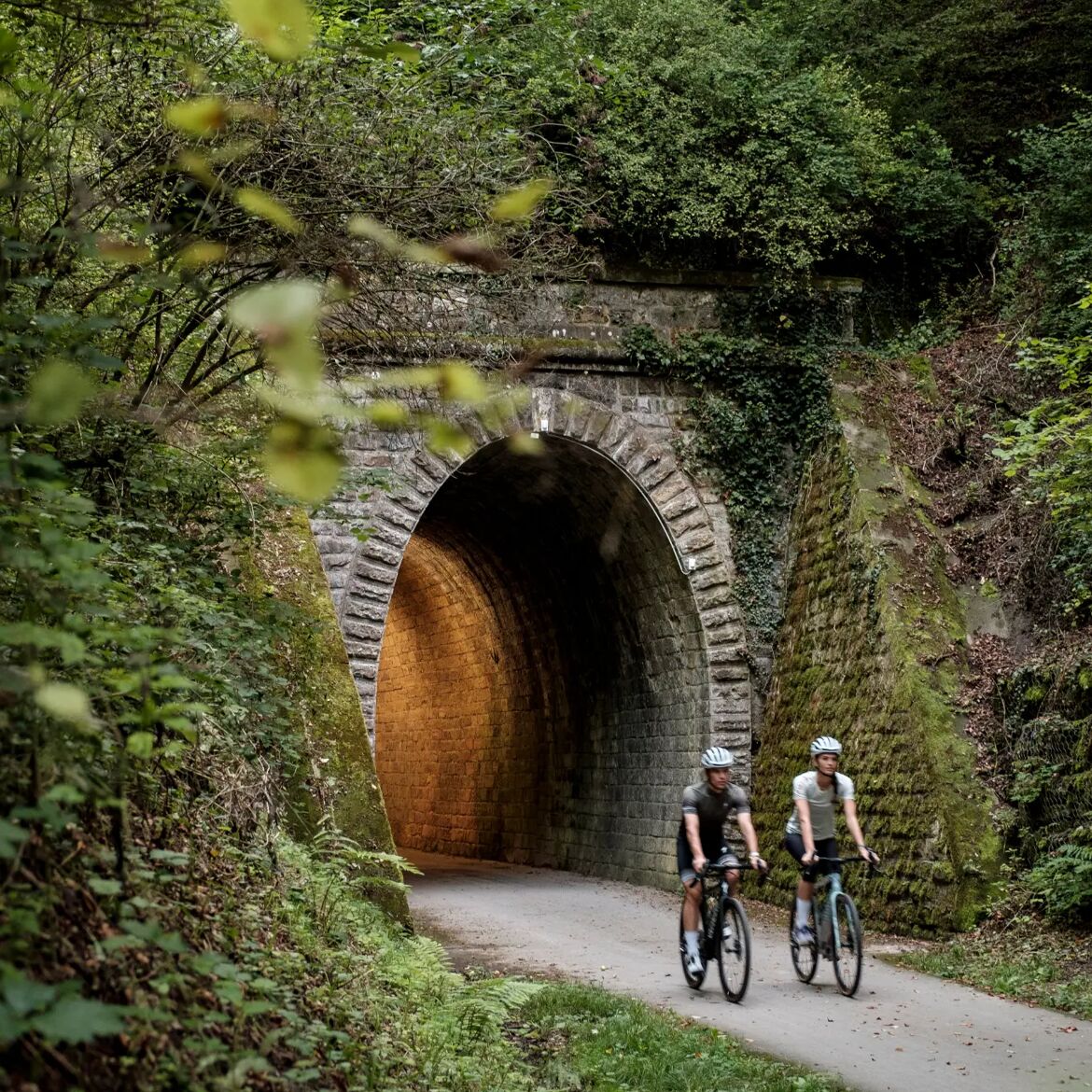
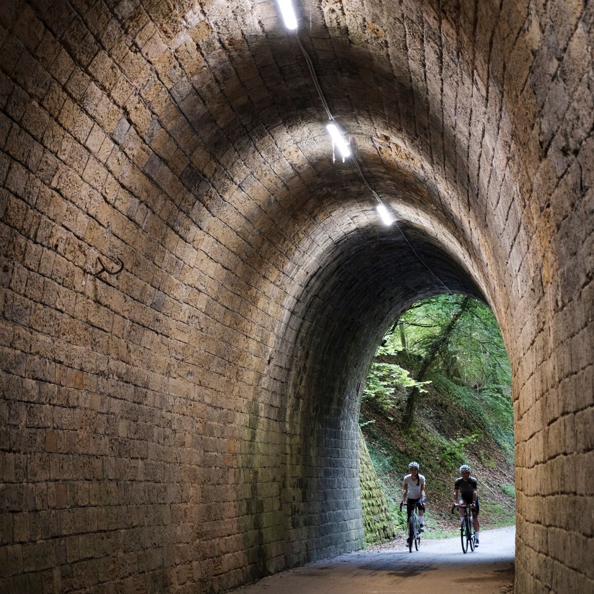
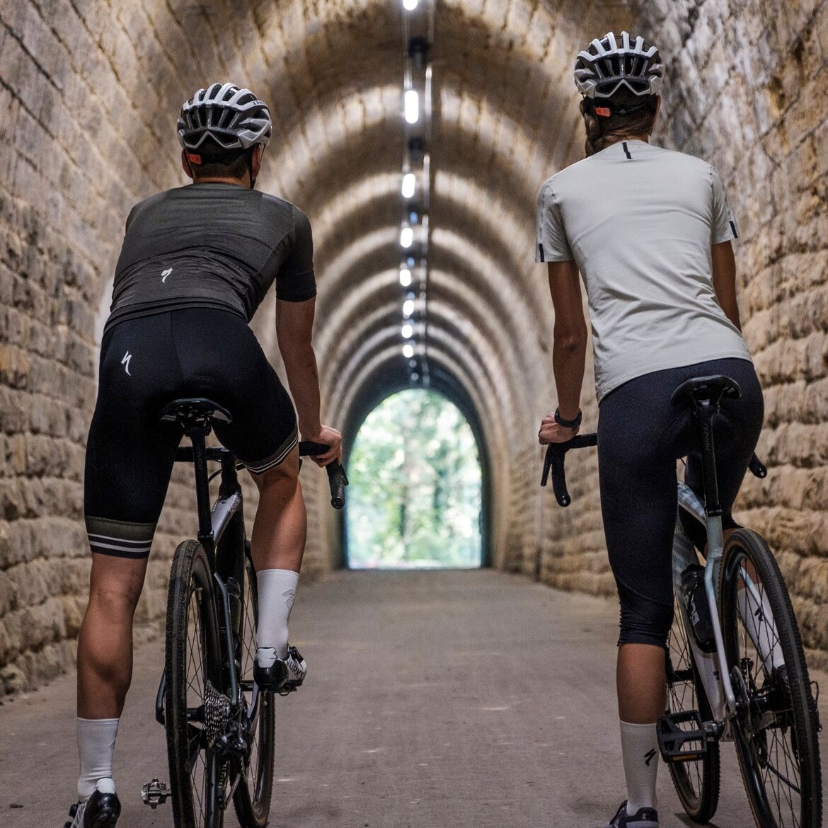
The circuit from Scheidgen leads north and initially runs along the national cycle path (PC) 2. After passing through the "Canyon," it goes left up to the plateau at Kalkesbaach. After a round on the plateau, Berdorf is reached. The route then makes a small loop to the farms Birkelt and Hammhaff and then back to Berdorf and Kalkesbaach. From there, it goes right to Dosterterhaff and continues to Consdorf. From Consdorf, it descends into the valley to the Konsdreffer Millen, an old mill that now houses a gastronomic establishment. Once back up on the plateau, the route continues through the small villages of Colbette, Kobebour, and Hersberg, then passes Luxembourg’s oldest tree, the oak "Bildchen" near Altrier. Via Zittig and Bech, past the Becher Gare and through the tunnel at Bech, it returns to Scheidgen.
Topographic map
Elevation profile
Picture gallery hiking